A case study that uses Compass data to determine road safety decisions across local areas and local area traffic management (LATM) schemes.
Book a DemoConstruction was taking place on Fulham Road in Townsville and a traffic control company wanted to know how safe a certain road segment was for the construction workers. The company needed to know which method of protection was suitable for this project. The options were between cones or concrete barriers.
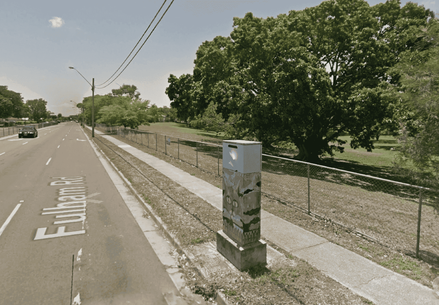
Using connected vehicle data in Brakepoint, the company could determine how risky it was in that area. By doing so, they could come to a decision on how to manage traffic.

By looking at the g-forces, swerving, speeding, and braking, the company could see that the area was prone to swerving drivers and therefore concrete barriers should be used instead of cones.

Applications of vehicle-generated data for use cases across state-wide freight modelling, origin-destination studies, VMS signage effectiveness, road safety, and local area traffic management.

.png)