
case study
A case study that analyses and Identifies risk to drivers and impacts stemming from infrastructure design, using the Cahill Expressway.
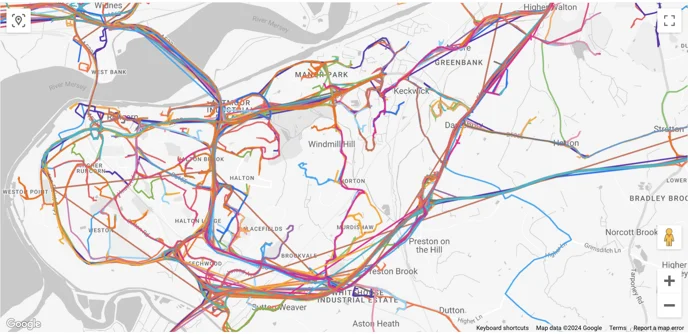
Roads and infrastructure are always designed with safety in mind but even the best of designers can’t always take into account how the roads will be used. The Cahill Expressway, for example, was noted to be a risk to drivers at times and road designers wanted to see if the design was interacted with appropriately or if it was suitable for road users.
When it comes to driver behaviour and experience on roads, obtaining empirical data is quite difficult. To ask drivers of their own behaviours is a laborious job and it becomes more difficult the busier a road. This case study sees if it’s possible to learn about driver interaction with infrastructure using connected vehicle data.
Using Brakepoint showed that cars were experiencing high g-forces even at the appropriate curve advisory speed (35 km/h). There was also evidence of drivers going beyond the advised speed limit and the absolute speed limit (60 km/h). The acceleration/deceleration data indicates that drivers experience difficulty ascending the ramp.
.png)
.png)
.png)
Graphical and empirical data shows violet swerving and heavy g-forces for drivers using the ramp which is a concern when it comes to road safety. With the turn to ascend, vehicles were travelling between roughly 45-70 km/h - well above the posted advisory limit. With such behaviour seen, it’s advised some method of intervention should be applied to increase safety.
Applications of vehicle-generated data for use cases across state-wide freight modelling, origin-destination studies, VMS signage effectiveness, road safety, and local area traffic management.
Study the effects of major events on the road network

Impacts of road closures on travel times
Urban Road Safety Program
